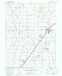
1949 Map of Hudson
USGS Topo · Published 1979About this map
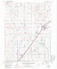
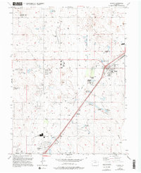
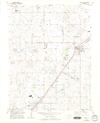
The town of Hudson, located in Weld County, Colorado, sits at an elevation of 5,000 feet as a focal point of this mid-century topographic study. The landscape is defined by the agricultural development of the Missouri River Basin, characterized by an extensive network of irrigation canals and reservoirs that sustain the high plains environment. While the primary mapping was completed just after the war, updates from the late 1970s reveal the expansion of local infrastructure, including a trailer park and updated road classifications. The map details a mix of established town grids and the surrounding pastoral geography, highlighting the transformation of the region through managed water resources and the presence of the Burlington Northern railroad corridor.
Find a feature on this map
1 named feature on this map. Tap any name to fly to it.
Don’t see what you’re looking for? This feature index may not catch every label — zoom into the map to look around manually.
Map Details
Editions of this 1949 Hudson Map
8 editions found
Other maps of this area

1890 · East Denver
USGS Topo · 1:125,000

1902 · Greeley
USGS Topo · 1:125,000

1940 · Brighton
USGS Topo · 1:31,680

1942 · Mile High Lakes
USGS Topo · 1:31,680

1944 · Brighton
USGS Topo · 1:31,680

1949 · Fort Lupton
USGS Topo · 1:24,000

1949 · Platteville
USGS Topo · 1:24,000

1949 · Hudson
USGS Topo · 1:24,000

1950 · Platteville
USGS Topo · 1:24,000
1950 · Fort Lupton
USGS Topo · 1:24,000