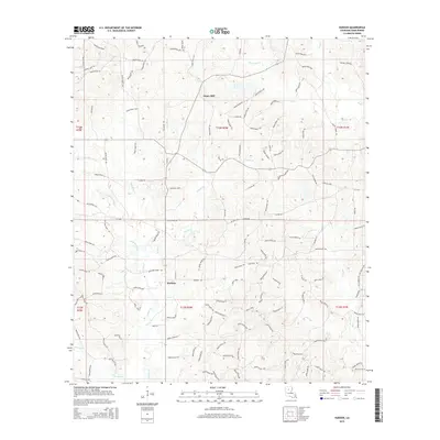
2015 Map of Hudson
USGS Topo · Published 2015About this map
Gaars Mill and the settlement of Hudson anchor this portion of Winn Parish, illustrating the rural landscape of north-central Louisiana in the early 21st century. The terrain is defined by a dense network of tributaries including Hurricane Cr, Flat Cr, and Walnut Cr, which carve through the timbered hills. The map provides significant detail for local historians and genealogists, specifically marking the Hatten Cemetery near the northern boundary and McCarty Cem in the southeast. An extensive system of local routes, such as Welcome Home Rd and La-1236, connects these communities. The drainage patterns of Kiesche Cr and Little Cr suggest a landscape dominated by small creek bottoms and managed forest tracts, typical of the region's historic reliance on timber and small-scale agriculture.
Find a feature on this map
131 named features on this map. Tap any name to fly to it.
Don’t see what you’re looking for? This feature index may not catch every label — zoom into the map to look around manually.
Map Details
Editions of this 2015 Hudson Map
This is the sole edition of this map. No revisions or reprints were ever made.
Other maps of this area

1949 · Jonesboro
USGS Topo · 1:62,500

1950 · Jonesboro
USGS Topo · 1:62,500

1950 · Winnfield
USGS Topo · 1:62,500

1951 · Winnfield
USGS Topo · 1:62,500

1953 · Alexandria
USGS Topo · 1:250,000

1954 · Sikes
USGS Topo · 1:62,500

1954 · Tullos
USGS Topo · 1:62,500

1955 · Shreveport
USGS Topo · 1:250,000

1955 · Alexandria
USGS Topo · 1:250,000

1956 · Shreveport
USGS Topo · 1:250,000