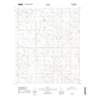
2018 Map of Hudson
USGS Topo · Published 2018About this map
Sikes and Gaars Mill anchor this part of Winn Parish, where the north-central Louisiana landscape is defined by a dense network of tributaries flowing through the timbered terrain. The settlement of Hudson sits centrally, surrounded by an intricate web of parish roads such as Gaars Mill Rd and Guy Gaar Rd, which follow the natural contours of the land. For genealogists, the map identifies specific burial sites including the Hatten Cemetary in the northeast and McCarty Cem at the southern edge, providing critical geographic context for family researchers.
Find a feature on this map
119 named features on this map. Tap any name to fly to it.
Don’t see what you’re looking for? This feature index may not catch every label — zoom into the map to look around manually.
Map Details
Editions of this 2018 Hudson Map
This is the sole edition of this map. No revisions or reprints were ever made.
Other maps of this area

1949 · Jonesboro
USGS Topo · 1:62,500

1950 · Jonesboro
USGS Topo · 1:62,500

1950 · Winnfield
USGS Topo · 1:62,500

1951 · Winnfield
USGS Topo · 1:62,500

1953 · Alexandria
USGS Topo · 1:250,000

1954 · Sikes
USGS Topo · 1:62,500

1954 · Tullos
USGS Topo · 1:62,500

1955 · Shreveport
USGS Topo · 1:250,000

1955 · Alexandria
USGS Topo · 1:250,000

1956 · Shreveport
USGS Topo · 1:250,000