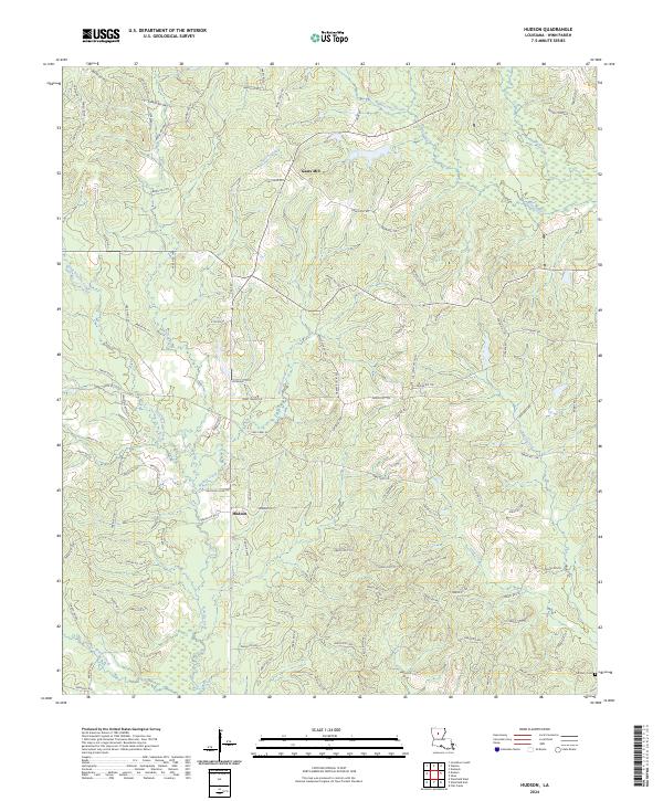
2024 Map of Hudson
USGS Topo · Published 2024About this map
Gaars Mill and Hudson anchor this rural landscape in Winn Parish, where the geography is defined by a dense network of watercourses and parish roads. The terrain is deeply etched by Hurricane Creek and Kiesche Creek in the north, while Walnut Creek and Beech Creek drain the central and southern reaches. This modern survey reflects the enduring layout of timberlands and small settlements, connected by thoroughfares such as Watson Rd and Gaar Rd. Genealogists and local historians can locate established burial sites including the Hatten Cemetary near the eastern boundary and McCarty Cem in the southeast. The map reveals a persistent pattern of rural life where family-named roads like John A Kelly Rd and Robert Tolbert provide access to the various forks of Little Creek and Wolf Creek.
Find a feature on this map
115 named features on this map. Tap any name to fly to it.
Don’t see what you’re looking for? This feature index may not catch every label — zoom into the map to look around manually.
Map Details
Editions of this 2024 Hudson Map
This is the sole edition of this map. No revisions or reprints were ever made.
Other maps of this area

1949 · Jonesboro
USGS Topo · 1:62,500

1950 · Jonesboro
USGS Topo · 1:62,500

1950 · Winnfield
USGS Topo · 1:62,500

1951 · Winnfield
USGS Topo · 1:62,500

1953 · Alexandria
USGS Topo · 1:250,000

1954 · Sikes
USGS Topo · 1:62,500

1954 · Tullos
USGS Topo · 1:62,500

1955 · Shreveport
USGS Topo · 1:250,000

1955 · Alexandria
USGS Topo · 1:250,000

1956 · Shreveport
USGS Topo · 1:250,000