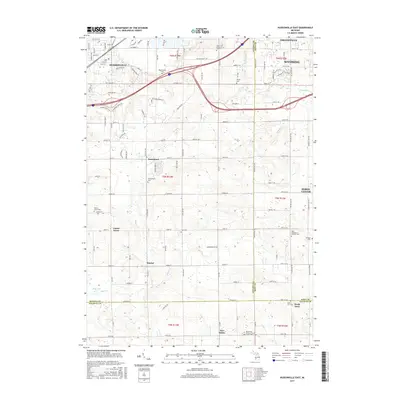
2017 Map of Hudsonville East
USGS Topo · Published 2017About this map
Hudsonville, Grandville, and Wyoming converge in the northern reaches of this map, showcasing the suburban expansion of the Grand Rapids area. The landscape transitions southward into a patchwork of rural townships and smaller settlements like Jamestown, Forest Grove, and Gitchel. This 2017 survey reveals a high density of local history markers, particularly cemeteries that trace the region's heritage, including Shackhuddle Cem and the Saint Mary's Catholic Church of New Salem Cem.
Find a feature on this map
100 named features on this map. Tap any name to fly to it.
Don’t see what you’re looking for? This feature index may not catch every label — zoom into the map to look around manually.
Map Details
Editions of this 2017 Hudsonville East Map
This is the sole edition of this map. No revisions or reprints were ever made.
Other maps of this area

1914 · Grand Rapids
USGS Topo · 1:62,500

1943 · Grand Rapids
USGS Topo · 1:62,500

1958 · Allendale
USGS Topo · 1:24,000

1958 · Allegan
USGS Topo · 1:62,500

1958 · Grandville
USGS Topo · 1:62,500

1958 · Grandville
USGS Topo · 1:24,000

1958 · Grand Rapids
USGS Topo · 1:250,000

1959 · Wayland
USGS Topo · 1:62,500

1961 · Grand Rapids
USGS Topo · 1:250,000

1962 · Grand Rapids
USGS Topo · 1:250,000