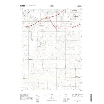
2019 Map of Hudsonville East
USGS Topo · Published 2019About this map
Hudsonville and Grandville anchor the northern reaches of this map, where the urban sprawl of Wyoming meets the agrarian landscapes of southern Ottawa and northern Allegan counties. The terrain is marked by a transition from organized residential grids to the open fields surrounding smaller settlements like Forest Grove, Gitchel, and New Salem. This map reveals a high density of burial grounds and religious sites, such as the Saint Mary's Catholic Church of New Salem Cem and Saint Sebastian's Catholic Cem, which often serve as the primary markers for community identity in these rural stretches.
Find a feature on this map
69 named features on this map. Tap any name to fly to it.
Don’t see what you’re looking for? This feature index may not catch every label — zoom into the map to look around manually.
Map Details
Editions of this 2019 Hudsonville East Map
This is the sole edition of this map. No revisions or reprints were ever made.
Other maps of this area

1914 · Grand Rapids
USGS Topo · 1:62,500

1943 · Grand Rapids
USGS Topo · 1:62,500

1958 · Allendale
USGS Topo · 1:24,000

1958 · Allegan
USGS Topo · 1:62,500

1958 · Grandville
USGS Topo · 1:62,500

1958 · Grandville
USGS Topo · 1:24,000

1958 · Grand Rapids
USGS Topo · 1:250,000

1959 · Wayland
USGS Topo · 1:62,500

1961 · Grand Rapids
USGS Topo · 1:250,000

1962 · Grand Rapids
USGS Topo · 1:250,000