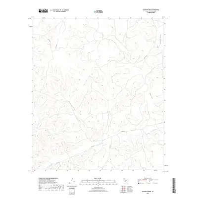
2019 Map of Hudspeth Draw
USGS Topo · Published 2019About this map
The Dry Devils River carves its way through this portion of Sutton County, defining the drainage patterns of the western Edwards Plateau. In this semi-arid landscape, the network of seasonal watercourses includes Hudspeth Draw, Sawyer Draw, and Halbert Draw, which serve as the primary topographical markers across the rolling terrain. Human imprint on the land is characterized by an sparse network of rural transit, including Aldwell Rd and Co Rd 405, alongside several private access routes such as Pvt Rd 4444. The layout of these roads and tracks reflects the expansive ranching operations typical of the region, where infrastructure is centered on navigating the draws and ridges that feed into the larger river basin.
Find a feature on this map
12 named features on this map. Tap any name to fly to it.
Don’t see what you’re looking for? This feature index may not catch every label — zoom into the map to look around manually.
Map Details
Editions of this 2019 Hudspeth Draw Map
This is the sole edition of this map. No revisions or reprints were ever made.
Other maps of this area

1954 · Sonora
USGS Topo · 1:250,000

1958 · Sonora
USGS Topo · 1:250,000

1964 · Sonora
USGS Topo · 1:24,000

1967 · Dunbar Draw SW
USGS Topo · 1:24,000

1967 · Flat Rock Draw SE
USGS Topo · 1:24,000

1967 · Dunbar Draw NW
USGS Topo · 1:24,000

1967 · Flat Rock Draw SW
USGS Topo · 1:24,000

1967 · Shafter Draw
USGS Topo · 1:24,000

1967 · Hudspeth Draw
USGS Topo · 1:24,000

1967 · Caverns Of Sonora
USGS Topo · 1:24,000