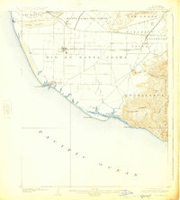
1904 Map of Hueneme
USGS Topo · Published 1925About this map
Oxnard and the coastal settlement of Hueneme anchor this early 20th-century landscape, a period when the Santa Clara River delta was defined by vast land grants and emerging rail corridors. The Southern Pacific railroad cuts through the heart of Pleasant Valley, connecting agricultural stops like Leesdale, Sucrosa, and Camarillo. The transition from the flat agricultural plains of the Rio de Santa Clara to the heights of the Santa Monica Mountains is marked by topographic shifts at Round Mt. and the winding Calleguas Creek. Along the coastline, Mugu Laguna remains a prominent feature between Middle Point and Mugu Point, while the interior shows a network of early roads and ranch divisions like Santa Clara del Norte. This survey captures the region just as the sugar beet industry and railroad expansion were solidifying the layout of modern Ventura County.
Find a feature on this map
36 named features on this map. Tap any name to fly to it.
Don’t see what you’re looking for? This feature index may not catch every label — zoom into the map to look around manually.
Map Details
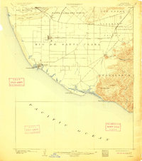
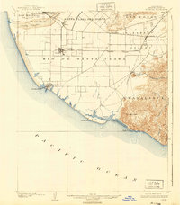
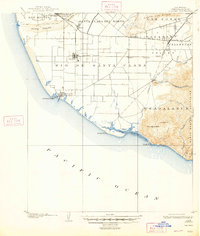
Editions of this 1904 Hueneme Map
5 editions found
Other maps of this area

1900 · Triunfo Pass
USGS Topo · 1:62,500

1900 · Piru
USGS Topo · 1:62,500

1903 · Santa Paula
USGS Topo · 1:62,500

1903 · Camulos
USGS Topo · 1:125,000

1904 · Ventura
USGS Topo · 1:62,500

1904 · Hueneme
USGS Topo · 1:62,500

1921 · Piru
USGS Topo · 1:62,500

1921 · Triunfo Pass
USGS Topo · 1:62,500

1932 · Arroyo Sequit
USGS Topo · 1:24,000

1941 · Ventura
USGS Topo · 1:62,500