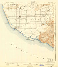
1904 Map of Hueneme
USGS Topo · Published 1940About this map
The coastal plains of Ventura County unfold in this early 20th-century survey, centered on the growing grid of Oxnard and the maritime gateway at Hueneme. The landscape is dominated by the broad Rio De Santa Clara and the fertile Pleasant Valley, which supported the region's burgeoning agriculture. This era shows the vital role of the Southern Pacific railroad, connecting inland settlements like Camarillo and Sucrosa to the coast and the wider markets of California.
Find a feature on this map
31 named features on this map. Tap any name to fly to it.
Don’t see what you’re looking for? This feature index may not catch every label — zoom into the map to look around manually.
Map Details
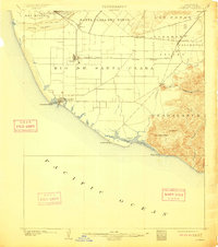
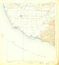
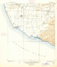
Editions of this 1904 Hueneme Map
5 editions found
Other maps of this area

1900 · Triunfo Pass
USGS Topo · 1:62,500

1900 · Piru
USGS Topo · 1:62,500

1903 · Santa Paula
USGS Topo · 1:62,500

1903 · Camulos
USGS Topo · 1:125,000

1904 · Ventura
USGS Topo · 1:62,500

1904 · Hueneme
USGS Topo · 1:62,500

1921 · Piru
USGS Topo · 1:62,500

1921 · Triunfo Pass
USGS Topo · 1:62,500

1932 · Arroyo Sequit
USGS Topo · 1:24,000

1941 · Ventura
USGS Topo · 1:62,500