
1892 Map of Huerfano Park
USGS Topo · Published 1892About this map
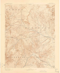
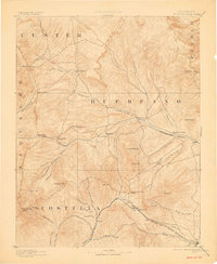
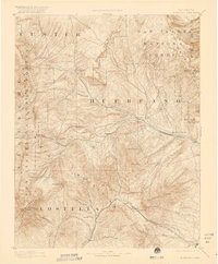
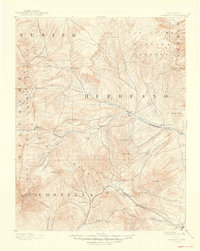
Huerfano River drainage systems define this high-altitude landscape, where early Colorado settlements and mountain crossings were mapped just before the turn of the century. The terrain is marked by dramatic elevation changes, from the towering Blanca Peak in the southwest to the sprawling Huerfano Canyon in the east. Small mountain communities like Gardner and Malachite serve as central points within the park, connected by primitive trails and the high-altitude infrastructure of the Denver and Rio Grande Railroad carving through Veta Pass.
Find a feature on this map
59 named features on this map. Tap any name to fly to it.
Don’t see what you’re looking for? This feature index may not catch every label — zoom into the map to look around manually.
Map Details
Editions of this 1892 Huerfano Park Map
5 editions found
Other maps of this area

1889 · Canon City
USGS Topo · 1:125,000

1889 · Huerfano Park
USGS Topo · 1:125,000

1891 · Walsenburg
USGS Topo · 1:125,000

1891 · Pueblo
USGS Topo · 1:125,000

1891 · Spanish Peaks
USGS Topo · 1:125,000

1892 · Canon City
USGS Topo · 1:125,000

1893 · Spanish Peaks
USGS Topo · 1:125,000

1894 · Walsenburg
USGS Topo · 1:125,000

1894 · Pueblo
USGS Topo · 1:125,000

1895 · Spanish Peaks
USGS Topo · 1:125,000