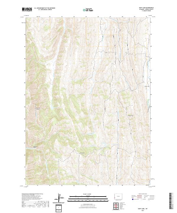
2021 Map of Huff Lake
USGS Topo · Published 2021About this map
Huff Lake and the high ridges of the Sublette Range define this high-altitude landscape in Lincoln County. This modern survey illustrates a complex network of seasonal drainages and permanent waterways, including the winding Smiths Fork and Little Muddy Cr, which carve through the varied terrain of Muddy Ridge and Raymond Basin. The topography is marked by significant elevation changes, from the depths of Raymond Canyon to the prominent peak of Pine Knoll. Human presence is primarily indicated by water management and named landmarks such as Fourth Cr Reservoir and Collett Flat. For those researching land use and natural boundaries, the map provides a clear look at the intersection of several townships, including t27n r119w and t28n r118w, set against the backdrop of Preacher Hollow and Bouene Cr.
Find a feature on this map
26 named features on this map. Tap any name to fly to it.
Don’t see what you’re looking for? This feature index may not catch every label — zoom into the map to look around manually.
Map Details
Editions of this 2021 Huff Lake Map
This is the sole edition of this map. No revisions or reprints were ever made.
Other maps of this area

1909 · Montpelier
USGS Topo · 1:125,000

1911 · Montpelier
USGS Topo · 1:125,000

1936 · Cokeville
USGS Topo · 1:96,000

1942 · Cokeville
USGS Topo · 1:125,000

1955 · Preston
USGS Topo · 1:250,000

1958 · Preston
USGS Topo · 1:250,000

1962 · Preston
USGS Topo · 1:250,000

1967 · Big Park
USGS Topo · 1:24,000

1967 · Huff Lake
USGS Topo · 1:24,000

1967 · Porcupine Creek
USGS Topo · 1:24,000