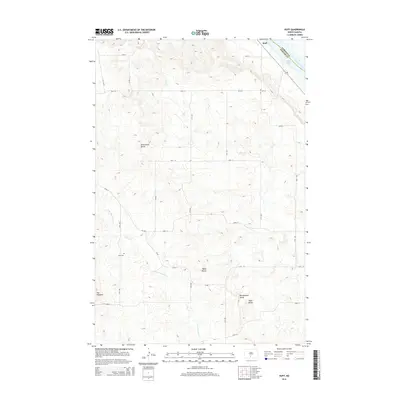
2014 Map of Huff
USGS Topo · Published 2014About this map
Huff sits along the western bank of the Missouri River in this 2014 survey, where the river widens into Lake Oahe at the Emmons Co Morton Co line. The landscape transitions from the river valley into a high plateau dominated by prominent geological landmarks, including Ambulance Butte, Signal Butte, and Rattlesnake Butte. This topography reveals the characteristic drainage patterns of the Missouri Slope, defined by the winding paths of Rice Cr and the N Br Cantapeta Cr.
Find a feature on this map
28 named features on this map. Tap any name to fly to it.
Don’t see what you’re looking for? This feature index may not catch every label — zoom into the map to look around manually.
Map Details
Editions of this 2014 Huff Map
This is the sole edition of this map. No revisions or reprints were ever made.
Other maps of this area

1907 · Bismarck
USGS Topo · 1:125,000

1954 · Bismarck
USGS Topo · 1:250,000

1958 · Bismarck
USGS Topo · 1:250,000

1962 · Sugarloaf Butte
USGS Topo · 1:24,000

1962 · Schmidt
USGS Topo · 1:24,000

1968 · Cannon Ball
USGS Topo · 1:24,000

1968 · Cannon Ball NW
USGS Topo · 1:24,000

1971 · Huff
USGS Topo · 1:24,000

1971 · Fort Rice
USGS Topo · 1:24,000

1971 · Huff NE
USGS Topo · 1:24,000