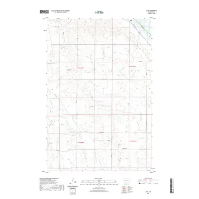
2020 Map of Huff
USGS Topo · Published 2020About this map
Huff sits along the southwestern banks of the Missouri River in Morton County, where the plains give way to a series of prominent high points. This 2020 landscape is defined by its distinct buttes, including Ambulance Butte, Signal Butte, and Rattlesnake Butte, which overlook the expansive waters of Lake Oahe. The area's history is anchored by the Parkin Cem, while the Roughrider Trail traces the edge of the river valley. The topography is further shaped by the drainage patterns of Rice Cr and the N Br Cantapeta Cr, which carve through the elevations and ridges such as The Hogback. The map illustrates a contemporary rural grid of county roads and avenues intersecting a terrain that remains largely tied to its natural landmarks and river proximity.
Find a feature on this map
32 named features on this map. Tap any name to fly to it.
Don’t see what you’re looking for? This feature index may not catch every label — zoom into the map to look around manually.
Map Details
Editions of this 2020 Huff Map
This is the sole edition of this map. No revisions or reprints were ever made.
Other maps of this area

1907 · Bismarck
USGS Topo · 1:125,000

1954 · Bismarck
USGS Topo · 1:250,000

1958 · Bismarck
USGS Topo · 1:250,000

1962 · Sugarloaf Butte
USGS Topo · 1:24,000

1962 · Schmidt
USGS Topo · 1:24,000

1968 · Cannon Ball
USGS Topo · 1:24,000

1968 · Cannon Ball NW
USGS Topo · 1:24,000

1971 · Huff
USGS Topo · 1:24,000

1971 · Fort Rice
USGS Topo · 1:24,000

1971 · Huff NE
USGS Topo · 1:24,000