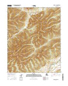
2016 Map of Hughes A-1 NW
USGS Topo · Published 2016About this map
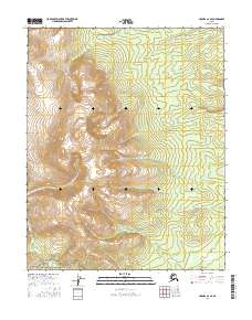
Slathtouka Cr meanders across the northern portion of this Yukon-Koyukuk landscape, highlighting a region defined by its complex drainage patterns and dramatic relief. Produced by the U.S. Geological Survey, this topographic record details the remote interior of Alaska during the early twenty-first century. The southern reaches of the map are defined by the headwaters of Notononto Cr, which drains a high, ridged basin. The absence of roads or established settlements emphasizes the wilderness character of the area, where land management is delineated by the Public Land Survey System grids of T10N R25E and T9N R26E. Researchers can trace the fine-grained contour intervals to understand the hydrological divide between these two primary watercourses.
Find a feature on this map
8 named features on this map. Tap any name to fly to it.
Don’t see what you’re looking for? This feature index may not catch every label — zoom into the map to look around manually.
Map Details
Editions of this 2016 Hughes A-1 NW Map
This is the sole edition of this map. No revisions or reprints were ever made.
Other maps of this area

1951 · Hughes
USGS Topo · 1:250,000

1955 · Hughes A-2
USGS Topo · 1:63,360

1955 · Hughes A-1
USGS Topo · 1:63,360

1956 · Hughes
USGS Topo · 1:250,000
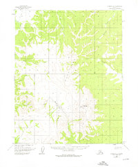
1956 · Hughes A-2
USGS Topo · 1:63,360

1964 · Hughes
USGS Topo · 1:250,000

1965 · Hughes
USGS Topo · 1:250,000
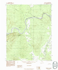
1986 · Hughes B-1
USGS Topo · 1:63,360
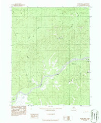
1986 · Hughes B-2
USGS Topo · 1:63,360
2016 · Hughes A-2 SE
USGS Topo · 1:25,000