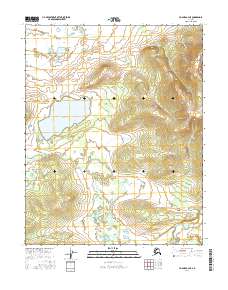
2016 Map of Hughes A-4 NE
USGS Topo · Published 2016About this map
Lake Tunikhanten and Lake Tokhaklanten dominate the interior of this remote Interior Alaska landscape, situated within the vast Yukon-Koyukuk region. The map illustrates a classic subarctic terrain of wetlands and low-lying hills, characterized by the prominent Hokdoloni Hills rising in the northeast. The hydrological network is defined by the winding course of Hughes Creek at the southern edge, which drains the surrounding basin. This topographic study reveals a landscape largely devoid of human infrastructure, focusing instead on the precise natural elevations and water bodies that define the traditional territory near the Koyukuk River. The preservation of indigenous place names like Tokhaklanten offers critical grounding for researchers studying the geographic history and land use patterns of the Koyukuk valley.
Find a feature on this map
10 named features on this map. Tap any name to fly to it.
Don’t see what you’re looking for? This feature index may not catch every label — zoom into the map to look around manually.
Map Details
Editions of this 2016 Hughes A-4 NE Map
This is the sole edition of this map. No revisions or reprints were ever made.
Other maps of this area

1951 · Hughes
USGS Topo · 1:250,000

1955 · Hughes A-3
USGS Topo · 1:63,360

1956 · Hughes
USGS Topo · 1:250,000
1956 · Hughes A-3
USGS Topo · 1:63,360

1964 · Hughes
USGS Topo · 1:250,000

1965 · Hughes
USGS Topo · 1:250,000
1986 · Hughes B-4
USGS Topo · 1:63,360
1986 · Hughes B-3
USGS Topo · 1:63,360
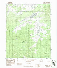
1986 · Hughes A-4
USGS Topo · 1:63,360
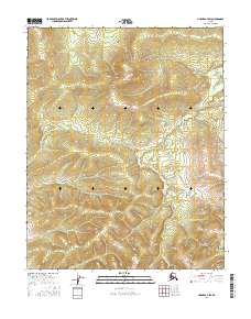
2016 · Hughes A-4 SW
USGS Topo · 1:25,000