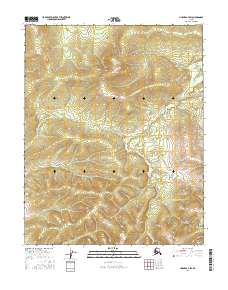
2016 Map of Hughes A-4 SW
USGS Topo · Published 2016About this map
Bakatigikh Mtn dominates the northern interior of this remote interior Alaska landscape, situated within a high-elevation environment characterized by steep contour gradients and drainage networks. The hydrological pattern is defined by the winding course of Baathbakdizuni Cr, which flows across the southeastern portion of the quadrangle, carving through the foothills of the Isahultila Mountains. This 2016 survey documents a wilderness terrain primarily defined by its physical geography and surveying townships, including portions of t8n r19e and t7n r19e. The absence of roads or permanent settlements in this region emphasizes the isolation of these northern peaks, where small alpine lakes and seasonal streams are the primary landmarks for those navigating the rugged territory north of the Yukon River.
Find a feature on this map
7 named features on this map. Tap any name to fly to it.
Don’t see what you’re looking for? This feature index may not catch every label — zoom into the map to look around manually.
Map Details
Editions of this 2016 Hughes A-4 SW Map
This is the sole edition of this map. No revisions or reprints were ever made.
Other maps of this area

1951 · Hughes
USGS Topo · 1:250,000

1951 · Melozitna
USGS Topo · 1:250,000

1954 · Melozitna D-5
USGS Topo · 1:63,360

1954 · Melozitna D-4
USGS Topo · 1:63,360

1956 · Hughes
USGS Topo · 1:250,000

1956 · Melozitna
USGS Topo · 1:250,000

1964 · Hughes
USGS Topo · 1:250,000

1965 · Hughes
USGS Topo · 1:250,000
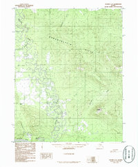
1986 · Hughes A-5
USGS Topo · 1:63,360
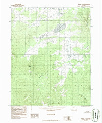
1986 · Hughes A-4
USGS Topo · 1:63,360