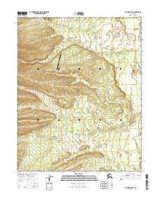
2016 Map of Hughes A-6 NE
USGS Topo · Published 2016About this map
Hogatzat and its surrounding interior landscape are defined by a complex drainage network that characterizes the Yukon-Koyukuk region. In this 2016 survey, the land is etched by numerous watercourses, most notably Wallick Cr, Caribou Cr, and Moraine Cr, which navigate the varying elevations of the t9n r15e and t9n r16e townships. The presence of the Hog River Airport signals the critical role of aviation in this remote territory, serving as a primary link between this isolated settlement area and the broader Alaskan infrastructure. A series of northern creeks, including Aloha Cr and Clear Cr, underscore the hydrological richness of the terrain, illustrating the natural patterns of the subarctic environment before any significant modern industrial footprint.
Find a feature on this map
18 named features on this map. Tap any name to fly to it.
Don’t see what you’re looking for? This feature index may not catch every label — zoom into the map to look around manually.
Map Details
Editions of this 2016 Hughes A-6 NE Map
This is the sole edition of this map. No revisions or reprints were ever made.
Other maps of this area

1951 · Hughes
USGS Topo · 1:250,000

1956 · Hughes
USGS Topo · 1:250,000

1964 · Hughes
USGS Topo · 1:250,000

1965 · Hughes
USGS Topo · 1:250,000
1986 · Hughes A-6
USGS Topo · 1:63,360
1986 · Hughes B-5
USGS Topo · 1:63,360
1986 · Hughes A-5
USGS Topo · 1:63,360
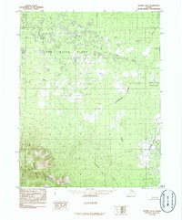
1986 · Hughes B-6
USGS Topo · 1:63,360
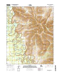
2016 · Hughes A-5 NW
USGS Topo · 1:25,000
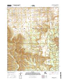
2016 · Hughes B-6 SE
USGS Topo · 1:25,000