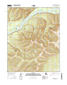
2016 Map of Hughes B-2 SE
USGS Topo · Published 2016About this map
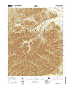
The Koyukuk River winds through the northwest corner of this Interior Alaska landscape, creating complex water features like Curve Slough and the landform known as Dog Island. The terrain is defined by the significant elevations of the Indian Mountains, which dominate the southern half of the quadrangle. Steep ridges and peaks, including Shannon Hill and Mt George, rise sharply from the river valley. Numerous drainage systems such as Honeymoon Cr and Slathlouka Cr cut through these uplands, illustrating the natural watershed patterns of the Yukon-Koyukuk region. This 2016 survey shows a territory devoid of permanent settlements or roads, focusing instead on the topographic and hydrographic details of the undeveloped subarctic wilderness.
Find a feature on this map
12 named features on this map. Tap any name to fly to it.
Don’t see what you’re looking for? This feature index may not catch every label — zoom into the map to look around manually.
Map Details
Editions of this 2016 Hughes B-2 SE Map
This is the sole edition of this map. No revisions or reprints were ever made.
Other maps of this area

1951 · Hughes
USGS Topo · 1:250,000

1955 · Hughes A-2
USGS Topo · 1:63,360

1955 · Hughes A-1
USGS Topo · 1:63,360

1956 · Hughes
USGS Topo · 1:250,000
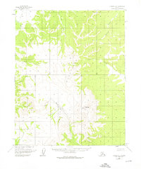
1956 · Hughes A-2
USGS Topo · 1:63,360

1964 · Hughes
USGS Topo · 1:250,000

1965 · Hughes
USGS Topo · 1:250,000
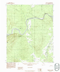
1986 · Hughes B-1
USGS Topo · 1:63,360
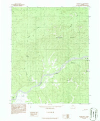
1986 · Hughes B-2
USGS Topo · 1:63,360
2016 · Hughes B-2 NE
USGS Topo · 1:25,000