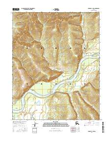
2016 Map of Hughes B-2 SW
USGS Topo · Published 2016About this map
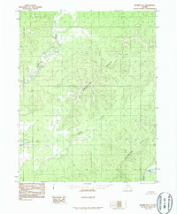
Red Mtn dominates the northern landscape of this Yukon-Koyukuk region, its elevations dropping sharply toward the winding course of the Koyukuk River. The terrain is defined by the drainage patterns of Red Mountain Cr and Fish Cr, which carve through the wilderness before joining the larger river system. Near the southwestern bend of the river, Waite Island sits as a distinct landform within the channel. This area is largely characterized by its natural water features and lack of established road infrastructure or settlements, reflecting a moment of quiet isolation in the Alaskan interior. The mapping of the Public Land Survey System grids, such as t11n r23e and t11n r24e, provides a framework for understanding land divisions in this remote territory.
Find a feature on this map
9 named features on this map. Tap any name to fly to it.
Don’t see what you’re looking for? This feature index may not catch every label — zoom into the map to look around manually.
Map Details
Editions of this 2016 Hughes B-2 SW Map
This is the sole edition of this map. No revisions or reprints were ever made.
Other maps of this area

1951 · Hughes
USGS Topo · 1:250,000

1955 · Hughes A-2
USGS Topo · 1:63,360

1955 · Hughes A-3
USGS Topo · 1:63,360

1956 · Hughes
USGS Topo · 1:250,000
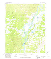
1956 · Hughes A-3
USGS Topo · 1:63,360
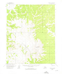
1956 · Hughes A-2
USGS Topo · 1:63,360

1964 · Hughes
USGS Topo · 1:250,000

1965 · Hughes
USGS Topo · 1:250,000
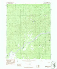
1986 · Hughes B-2
USGS Topo · 1:63,360
1986 · Hughes B-3
USGS Topo · 1:63,360