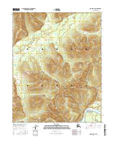
2016 Map of Hughes B-3 SE
USGS Topo · Published 2016About this map
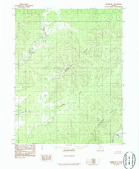
Hatdolita Hills dominate the central landscape of this interior Alaska quadrangle, their steep elevations rising above the surrounding wetlands and drainage systems. To the southeast, the broad Koyukuk River winds through the valley floor, creating a dynamic riparian environment that includes Waite Island. The interior drainage is primarily defined by Hughes Cr, which meanders across the northwest sections. This 2016 survey illustrates the intersection of high-elevation terrain and low-lying river systems in the Yukon-Koyukuk region, showing how the topography directs the flow of smaller tributaries toward the major river artery. The map provides a clear look at the land's natural contours before any significant human development or industrial footprint altered the corridor.
Find a feature on this map
8 named features on this map. Tap any name to fly to it.
Don’t see what you’re looking for? This feature index may not catch every label — zoom into the map to look around manually.
Map Details
Editions of this 2016 Hughes B-3 SE Map
This is the sole edition of this map. No revisions or reprints were ever made.
Other maps of this area

1951 · Hughes
USGS Topo · 1:250,000

1955 · Hughes A-2
USGS Topo · 1:63,360

1955 · Hughes A-3
USGS Topo · 1:63,360

1956 · Hughes
USGS Topo · 1:250,000
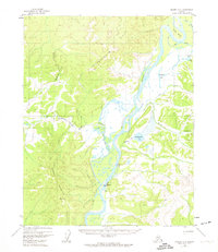
1956 · Hughes A-3
USGS Topo · 1:63,360
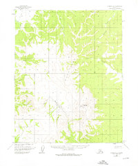
1956 · Hughes A-2
USGS Topo · 1:63,360

1964 · Hughes
USGS Topo · 1:250,000

1965 · Hughes
USGS Topo · 1:250,000
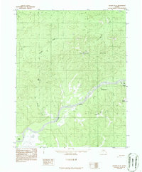
1986 · Hughes B-2
USGS Topo · 1:63,360
1986 · Hughes B-3
USGS Topo · 1:63,360