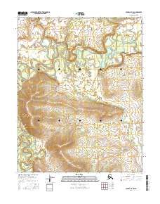
2016 Map of Hughes B-5 SW
USGS Topo · Published 2016About this map
The Hogatza River dominates the northern reaches of this landscape, its path defined by tight meanders and oxbow configurations characteristic of the interior Alaskan drainage basins. Flowing through the upper portion of the quadrangle, the river's winding course reveals the dynamic nature of the fluvial environment before it turns southward along the western edge. In the central and southern sections, the terrain is marked by the presence of Babantaltlin Cr, which drains toward the southeast. This 2016 survey captures a purely natural landscape within the Yukon-Koyukuk region, lacking any named settlements or roads, focusing instead on the complex hydrography and township boundaries like t11n r16e and t10n r17e that organize this remote territory.
Find a feature on this map
6 named features on this map. Tap any name to fly to it.
Don’t see what you’re looking for? This feature index may not catch every label — zoom into the map to look around manually.
Map Details
Editions of this 2016 Hughes B-5 SW Map
This is the sole edition of this map. No revisions or reprints were ever made.
Other maps of this area

1951 · Hughes
USGS Topo · 1:250,000

1956 · Hughes
USGS Topo · 1:250,000

1964 · Hughes
USGS Topo · 1:250,000

1965 · Hughes
USGS Topo · 1:250,000
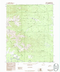
1986 · Hughes A-6
USGS Topo · 1:63,360
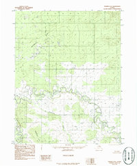
1986 · Hughes B-5
USGS Topo · 1:63,360
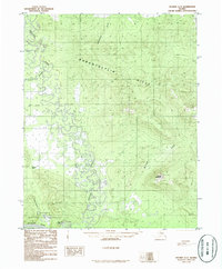
1986 · Hughes A-5
USGS Topo · 1:63,360
1986 · Hughes B-6
USGS Topo · 1:63,360
2016 · Hughes A-5 NW
USGS Topo · 1:25,000
2016 · Hughes B-6 SE
USGS Topo · 1:25,000