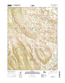
2016 Map of Hughes C-2 NE
USGS Topo · Published 2016About this map
Situk Creek flows through the southeastern portion of this landscape, carving a path through the interior of the Yukon-Koyukuk region. The area is defined by the Public Land Survey System grids of t16n r24e, t16n r25e, t15n r24e, t15n r25e, t14n r24e, and t14n r25e, which organize this portion of the Alaskan wilderness into a structured geometric layout. Unlike more settled regions, the lack of named structures, roads, or population centers highlights the immense scale of the subarctic environment where natural watercourses and topography remain the primary landmarks for navigation and land management.
Find a feature on this map
7 named features on this map. Tap any name to fly to it.
Don’t see what you’re looking for? This feature index may not catch every label — zoom into the map to look around manually.
Map Details
Editions of this 2016 Hughes C-2 NE Map
This is the sole edition of this map. No revisions or reprints were ever made.
Other maps of this area

1951 · Hughes
USGS Topo · 1:250,000

1956 · Hughes
USGS Topo · 1:250,000

1964 · Hughes
USGS Topo · 1:250,000

1965 · Hughes
USGS Topo · 1:250,000
1986 · Hughes D-1
USGS Topo · 1:63,360
1986 · Hughes D-2
USGS Topo · 1:63,360
1986 · Hughes C-1
USGS Topo · 1:63,360
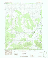
1986 · Hughes C-2
USGS Topo · 1:63,360
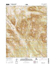
2016 · Hughes C-1 SW
USGS Topo · 1:25,000
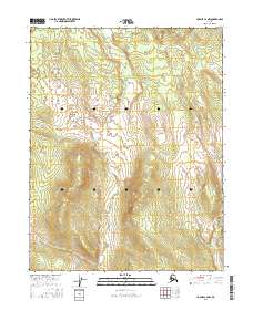
2016 · Hughes C-2 NW
USGS Topo · 1:25,000