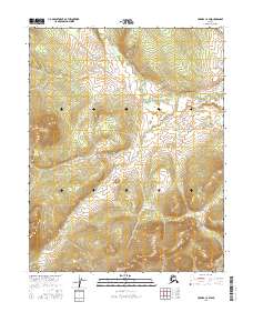
2016 Map of Hughes C-2 SW
USGS Topo · Published 2016About this map
Siruk Creek winds through the northern portion of this interior Alaskan landscape, serving as the primary drainage feature for the area. The terrain is characterized by complex contouring and significant elevation changes, mapped by the U.S. Geological Survey in 2016. This sheet covers the intersection of four different township and range divisions, including T14n R23e and T13n R23e. Unlike many populated quadrangles, this area is defined by its lack of named man-made structures, settlements, or infrastructure, representing a portion of the Yukon-Koyukuk region where natural topography and hydrology remain the dominant features. The map provides a precise look at the landforms surrounding the creek as they existed in the early 21st century.
Find a feature on this map
5 named features on this map. Tap any name to fly to it.
Don’t see what you’re looking for? This feature index may not catch every label — zoom into the map to look around manually.
Map Details
Editions of this 2016 Hughes C-2 SW Map
This is the sole edition of this map. No revisions or reprints were ever made.
Other maps of this area

1951 · Hughes
USGS Topo · 1:250,000

1956 · Hughes
USGS Topo · 1:250,000

1964 · Hughes
USGS Topo · 1:250,000

1965 · Hughes
USGS Topo · 1:250,000
1986 · Hughes C-3
USGS Topo · 1:63,360
1986 · Hughes B-2
USGS Topo · 1:63,360
1986 · Hughes B-3
USGS Topo · 1:63,360
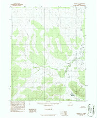
1986 · Hughes C-2
USGS Topo · 1:63,360
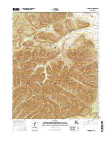
2016 · Hughes B-2 NE
USGS Topo · 1:25,000
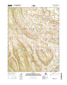
2016 · Hughes C-2 NE
USGS Topo · 1:25,000