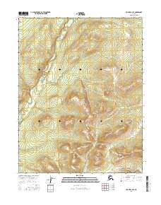
2016 Map of Hughes C-3 SE
USGS Topo · Published 2016About this map
Hogatza River meanders through this interior Alaska landscape, defining the western drainage of the Hogatza valley as it appeared in 2016. The map reveals a transition from the river's low-lying floodplains in the west toward increasingly elevated, unnamed ridges that dominate the eastern half of the quadrangle. This 1:25,000 scale survey provides a clear view of the Public Land Survey System boundaries, specifically the intersections of t14n r21e, t14n r22e, t13n r21e, and t13n r22e. The absence of roads or permanent structures reflects the wilderness character of the Yukon-Koyukuk region, where the terrain itself dictates the patterns of travel and land use.
Find a feature on this map
5 named features on this map. Tap any name to fly to it.
Don’t see what you’re looking for? This feature index may not catch every label — zoom into the map to look around manually.
Map Details
Editions of this 2016 Hughes C-3 SE Map
This is the sole edition of this map. No revisions or reprints were ever made.
Other maps of this area

1951 · Hughes
USGS Topo · 1:250,000

1956 · Hughes
USGS Topo · 1:250,000

1964 · Hughes
USGS Topo · 1:250,000

1965 · Hughes
USGS Topo · 1:250,000
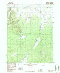
1986 · Hughes C-3
USGS Topo · 1:63,360
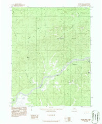
1986 · Hughes B-2
USGS Topo · 1:63,360
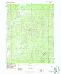
1986 · Hughes B-3
USGS Topo · 1:63,360
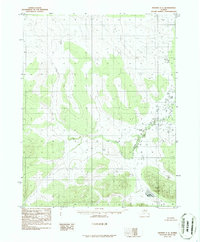
1986 · Hughes C-2
USGS Topo · 1:63,360
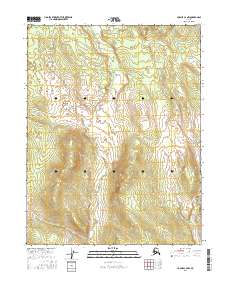
2016 · Hughes C-2 NW
USGS Topo · 1:25,000
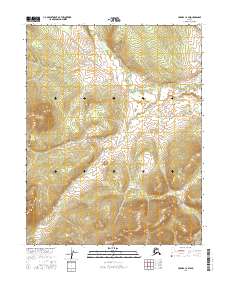
2016 · Hughes C-2 SW
USGS Topo · 1:25,000