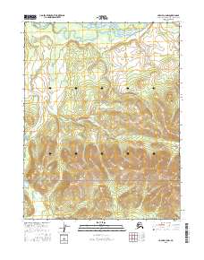
2016 Map of Hughes C-5 NW
USGS Topo · Published 2016About this map
The Kobuk River flows across the northern reach of this landscape, framing the northern boundary of the Gates of the Arctic National Preserve. The terrain is defined by significant elevation changes, rising from the river lowlands where Bear Island sits in the channel, toward the prominent peaks of the southern interior. The Lockwood Hills dominate the southeastern quadrant, culminating in the high point of Mt Ekron. This 2016 survey illustrates the pristine character of the Northwest Arctic, where drainage patterns like Asiksat Cr carve through townships including t15n r16e and t14n r16e. The map provides a precise record of this protected wilderness, documenting the intersection of major waterways and interior mountain ranges.
Find a feature on this map
12 named features on this map. Tap any name to fly to it.
Don’t see what you’re looking for? This feature index may not catch every label — zoom into the map to look around manually.
Map Details
Editions of this 2016 Hughes C-5 NW Map
This is the sole edition of this map. No revisions or reprints were ever made.
Other maps of this area

1951 · Hughes
USGS Topo · 1:250,000

1956 · Hughes
USGS Topo · 1:250,000

1964 · Hughes
USGS Topo · 1:250,000

1965 · Hughes
USGS Topo · 1:250,000
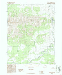
1986 · Hughes D-5
USGS Topo · 1:63,360
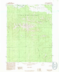
1986 · Hughes C-5
USGS Topo · 1:63,360
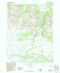
1986 · Hughes D-6
USGS Topo · 1:63,360
1986 · Hughes C-6
USGS Topo · 1:63,360
2016 · Hughes C-6 NE
USGS Topo · 1:25,000
2016 · Hughes D-5 SE
USGS Topo · 1:25,000