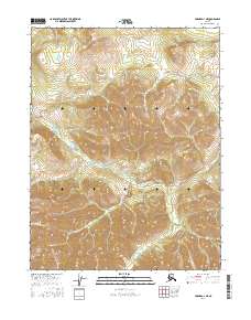
2016 Map of Hughes D-1 NE
USGS Topo · Published 2016About this map
Rockybottom Creek defines the interior drainage of this Alaskan interior landscape within the Yukon-Koyukuk region. In this 2016 survey, the land remains largely undeveloped, characterized by the winding path of Rockybottom Cr and its various tributaries as they navigate the elevations of T18N R26E and surrounding townships. To the southwest, the waters of Chebanika Cr cross the terrain, illustrating the natural hydrological patterns of this subarctic environment. The map provides a high-resolution view of the topography, showing how the drainage basins of these creeks are separated by significant ridges and summits that reach across several survey townships including t19n r27e and t17n r26e.
Find a feature on this map
9 named features on this map. Tap any name to fly to it.
Don’t see what you’re looking for? This feature index may not catch every label — zoom into the map to look around manually.
Map Details
Editions of this 2016 Hughes D-1 NE Map
This is the sole edition of this map. No revisions or reprints were ever made.
Other maps of this area

1951 · Hughes
USGS Topo · 1:250,000

1951 · Bettles
USGS Topo · 1:250,000

1951 · Survey Pass
USGS Topo · 1:250,000

1951 · Wiseman
USGS Topo · 1:250,000

1956 · Hughes
USGS Topo · 1:250,000

1956 · Bettles
USGS Topo · 1:250,000

1956 · Wiseman
USGS Topo · 1:250,000

1956 · Survey Pass
USGS Topo · 1:250,000

1964 · Survey Pass
USGS Topo · 1:250,000

1964 · Wiseman
USGS Topo · 1:250,000