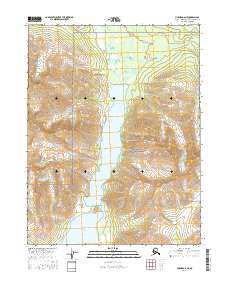
2016 Map of Hughes D-6 NE
USGS Topo · Published 2016About this map
Gates of the Arctic National Preserve encompasses this wilderness region, where the steep elevations of the Angayucham Mountains meet a significant freshwater system. The landscape is defined by two major bodies of water, Narvak Lake and Lake Selby, which dominate the central and southern valleys. These lakes are connected by the Selby River, which flows through the northern reaches of the quadrangle. This 2016 survey provides a precise look at the glacial topography and drainage patterns of the Northwest Arctic Borough before any significant modern development. The mapping detail focuses on the natural contours of the mountains, illustrating how the terrain shapes the movement of water through this protected subarctic environment.
Find a feature on this map
11 named features on this map. Tap any name to fly to it.
Don’t see what you’re looking for? This feature index may not catch every label — zoom into the map to look around manually.
Map Details
Editions of this 2016 Hughes D-6 NE Map
This is the sole edition of this map. No revisions or reprints were ever made.
Other maps of this area

1951 · Hughes
USGS Topo · 1:250,000

1951 · Survey Pass
USGS Topo · 1:250,000

1956 · Hughes
USGS Topo · 1:250,000

1956 · Survey Pass
USGS Topo · 1:250,000

1964 · Survey Pass
USGS Topo · 1:250,000

1964 · Hughes
USGS Topo · 1:250,000

1965 · Hughes
USGS Topo · 1:250,000

1966 · Survey Pass
USGS Topo · 1:250,000
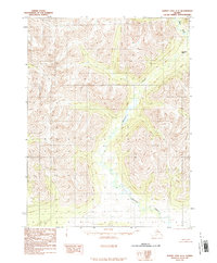
1986 · Survey Pass A-5
USGS Topo · 1:63,360
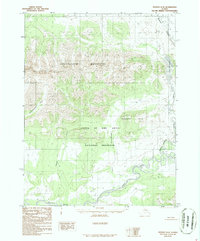
1986 · Hughes D-5
USGS Topo · 1:63,360