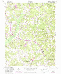
1956 Map of Hughesville
USGS Topo · Published 1986About this map
Zekiah Swamp Run dominates the western half of this Maryland landscape, creating a wide natural corridor that separates the smaller settlements of Mudd and Bryantown. By the mid-1950s, the rural character of Charles County was defined by a network of crossroads communities and educational institutions. Schools and religious centers are notably concentrated here, including Malcolm Sch, Notre Dame High Sch, and St Marys Sch. The northeastern corner features the structured plantings of the Cedarville State Forest, while the south-central area is marked by the intriguing location of Burnt Store. Historical transportation patterns are visible through the Abandoned railroad line that cuts northwest-to-southeast toward Hughesville, and the presence of a remote Landing Strip near Devils Nest highlights the gradual modernization of this agricultural region.
Find a feature on this map
45 named features on this map. Tap any name to fly to it.
Don’t see what you’re looking for? This feature index may not catch every label — zoom into the map to look around manually.
Map Details
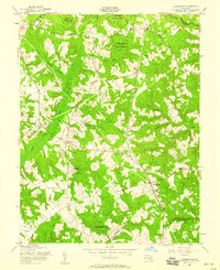
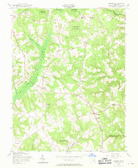
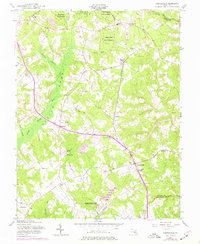
Editions of this 1956 Hughesville Map
4 editions found
Other maps of this area

1892 · Leonardtown
USGS Topo · 1:62,500

1892 · Prince Frederick
USGS Topo · 1:62,500

1892 · Brandywine
USGS Topo · 1:62,500

1894 · Wicomico
USGS Topo · 1:62,500

1895 · Prince Frederick
USGS Topo · 1:62,500

1895 · Wicomico
USGS Topo · 1:62,500

1895 · Brandywine
USGS Topo · 1:62,500

1895 · Leonardtown
USGS Topo · 1:62,500

1895 · Nomini
USGS Topo · 1:125,000

1898 · Nomini
USGS Topo · 1:125,000