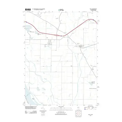
2012 Map of Hull
USGS Topo · Published 2012About this map
The floodplains of the Mississippi River dominate this landscape, where complex water management systems dictate the layout of the land. Significant drainage infrastructure like the Walnut Cr Ditch and the McCraney Diversion Ditch serve to channel water away from the agricultural tracts surrounding the villages of Hull and Kinderhook. The presence of numerous settling basins, such as the Grubb Hollow Branch Settling Basin, highlights the ongoing effort to manage sediment in this riverine environment.
Find a feature on this map
46 named features on this map. Tap any name to fly to it.
Don’t see what you’re looking for? This feature index may not catch every label — zoom into the map to look around manually.
Map Details
Editions of this 2012 Hull Map
This is the sole edition of this map. No revisions or reprints were ever made.
Other maps of this area

1925 · Quincy
USGS Topo · 1:62,500

1925 · Liberty
USGS Topo · 1:62,500

1927 · Liberty
USGS Topo · 1:62,500

1931 · Barry
USGS Topo · 1:62,500

1932 · Hannibal
USGS Topo · 1:62,500

1936 · Hannibal
USGS Topo · 1:48,000

1936 · Barry
USGS Topo · 1:48,000

1944 · Barry
USGS Topo · 1:62,500

1944 · Quincy
USGS Topo · 1:62,500

1945 · Hannibal
USGS Topo · 1:62,500