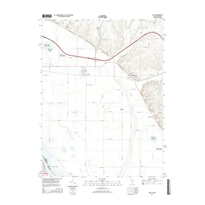
2015 Map of Hull
USGS Topo · Published 2015About this map
Low-lying bottomlands and engineered drainage systems dominate this corner of Pike County, where the village of Hull and the town of Kinderhook occupy the higher ground above the floodplains of the Mississippi and Illinois Rivers. The complex hydrology of the region is evident in the network of man-made structures designed to manage silt and water flow, including the Pigeon Creek Settling Basin, the Walnut Creek Settling Basin, and the McCraney Diversion Ditch. These features, along with historic waterways like The Sny, define a landscape heavily modified for agriculture.
Find a feature on this map
83 named features on this map. Tap any name to fly to it.
Don’t see what you’re looking for? This feature index may not catch every label — zoom into the map to look around manually.
Map Details
Editions of this 2015 Hull Map
This is the sole edition of this map. No revisions or reprints were ever made.
Other maps of this area

1925 · Quincy
USGS Topo · 1:62,500

1925 · Liberty
USGS Topo · 1:62,500

1927 · Liberty
USGS Topo · 1:62,500

1931 · Barry
USGS Topo · 1:62,500

1932 · Hannibal
USGS Topo · 1:62,500

1936 · Hannibal
USGS Topo · 1:48,000

1936 · Barry
USGS Topo · 1:48,000

1944 · Barry
USGS Topo · 1:62,500

1944 · Quincy
USGS Topo · 1:62,500

1945 · Hannibal
USGS Topo · 1:62,500