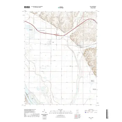
2021 Map of Hull
USGS Topo · Published 2021About this map
The Sny and a complex network of drainage ditches dominate this stretch of the Mississippi River bottomlands in Pike County. The landscape is defined by its water management systems, including the Pigeon Creek Settling Basin and Walnut Creek Settling Basin, designed to control the flow of the river's tributaries before they reach the main channel. This area reflects a long history of land reclamation and flood control, visible in the straight lines of the Hadley-McCraney Diversion Ditch cutting across the alluvial plain.
Find a feature on this map
56 named features on this map. Tap any name to fly to it.
Don’t see what you’re looking for? This feature index may not catch every label — zoom into the map to look around manually.
Map Details
Editions of this 2021 Hull Map
This is the sole edition of this map. No revisions or reprints were ever made.
Other maps of this area

1925 · Quincy
USGS Topo · 1:62,500

1925 · Liberty
USGS Topo · 1:62,500

1927 · Liberty
USGS Topo · 1:62,500

1931 · Barry
USGS Topo · 1:62,500

1932 · Hannibal
USGS Topo · 1:62,500

1936 · Hannibal
USGS Topo · 1:48,000

1936 · Barry
USGS Topo · 1:48,000

1944 · Barry
USGS Topo · 1:62,500

1944 · Quincy
USGS Topo · 1:62,500

1945 · Hannibal
USGS Topo · 1:62,500