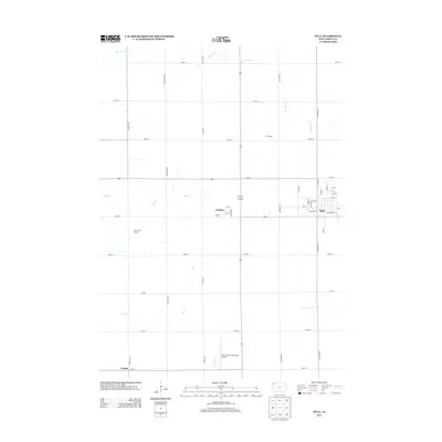
2013 Map of Hull
USGS Topo · Published 2013About this map
Agricultural patterns and local transit networks define this Sioux County landscape near the Iowa-South Dakota border. The town of Hull serves as the primary hub, showing a traditional street grid with names like Division St, Center St, and Railroad St hinting at the community's historic development alongside rail lines. To the west, the settlement of Perkins sits at a highway junction, while the smaller area of Carmel anchors the southwestern corner.
Find a feature on this map
43 named features on this map. Tap any name to fly to it.
Don’t see what you’re looking for? This feature index may not catch every label — zoom into the map to look around manually.
Map Details
Editions of this 2013 Hull Map
This is the sole edition of this map. No revisions or reprints were ever made.
Other maps of this area

1955 · Sioux Falls
USGS Topo · 1:250,000

1958 · Sioux Falls
USGS Topo · 1:250,000

1964 · Orange City
USGS Topo · 1:24,000

1964 · Boyden
USGS Topo · 1:24,000

1964 · Sioux Center
USGS Topo · 1:24,000

1964 · Hull
USGS Topo · 1:24,000

1968 · Labanon
USGS Topo · 1:24,000
1968 · Rock Valley
USGS Topo · 1:24,000

1971 · George West
USGS Topo · 1:24,000

1971 · Doon
USGS Topo · 1:24,000