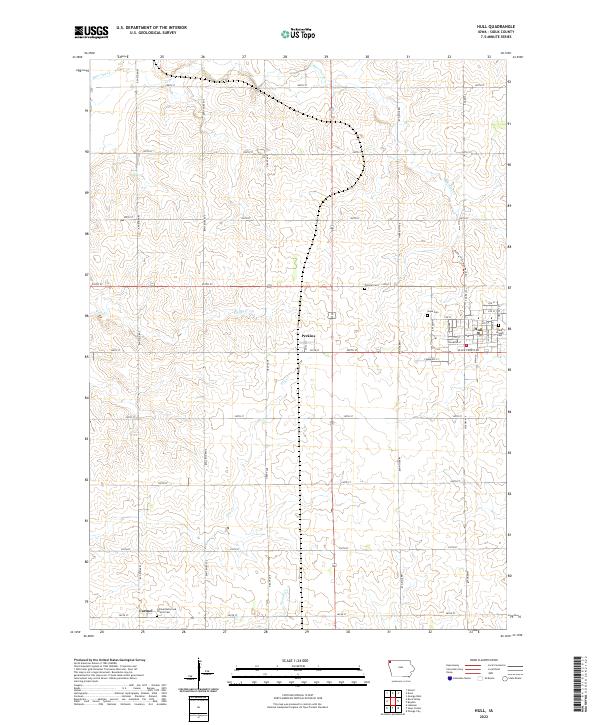
2022 Map of Hull
USGS Topo · Published 2022About this map
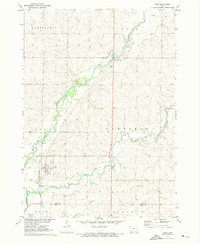
The town of Hull serves as a primary hub for this Sioux County landscape, which is defined by a grid of agricultural section lines and small creek drainages. To the west, the settlement of Perkins sits at a major roadway intersection, while the community of Carmel anchors the southwestern corner of the sheet. The area’s spiritual and genealogical history is well-preserved through several dedicated sites, including Hope Cem and Saint Joseph Cem on the outskirts of Hull, as well as the Carmel Reformed Church Cem and the isolated Pioneer Cem. Water courses such as Burr Oak Creek and Sixmile Creek meander through the farmland, providing natural breaks in the geometric road network. A modern addition to the local geography is the Rolling Hills Bike Path Trl, which offers a dedicated recreational corridor through the rolling terrain northeast of the central township.
Find a feature on this map
48 named features on this map. Tap any name to fly to it.
Don’t see what you’re looking for? This feature index may not catch every label — zoom into the map to look around manually.
Map Details
Editions of this 2022 Hull Map
This is the sole edition of this map. No revisions or reprints were ever made.
Other maps of this area

1955 · Sioux Falls
USGS Topo · 1:250,000

1958 · Sioux Falls
USGS Topo · 1:250,000
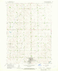
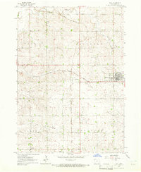
1964 · Orange City
USGS Topo · 1:24,000
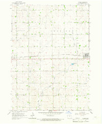
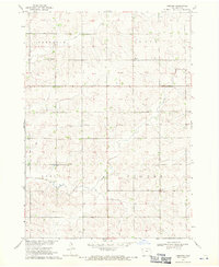
1964 · Boyden
USGS Topo · 1:24,000
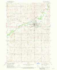
1964 · Sioux Center
USGS Topo · 1:24,000
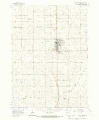
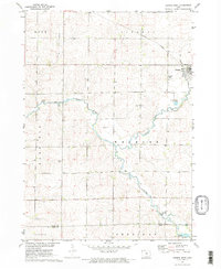
1964 · Hull
USGS Topo · 1:24,000
1968 · Labanon
USGS Topo · 1:24,000
1968 · Rock Valley
USGS Topo · 1:24,000
1971 · George West
USGS Topo · 1:24,000
1971 · Doon
USGS Topo · 1:24,000