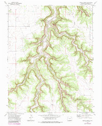
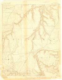
1972 Map of Humbar Spring
USGS Topo · Published 1985About this map
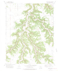
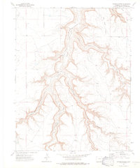
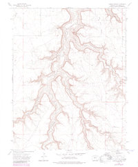
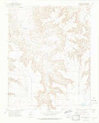
Chacuaco Creek and its deeply incised tributaries define this portion of Las Animas County, showing a landscape shaped by drainage systems like Tobe Creek and Poitrey Creek. The 1970s topography reveals a sparse human presence primarily linked to ranching and passage through the canyon lands. Linder Camp and the notable Heart Rock serve as landmarks in a territory where movement follows established paths such as the Bachicha Trail and numerous unnamed jeep trails. Small-scale historical footprints are preserved in the form of a lone Grave and watering points like Humbar Spring. The intricate contouring around Bar Four Pocket and Seven D Pocket illustrates the complex erosion patterns typical of this Colorado plateau region, providing a detailed record of the terrain as it was field checked in the early 1970s and photorevised in the 1980s.
Find a feature on this map
13 named features on this map. Tap any name to fly to it.
Don’t see what you’re looking for? This feature index may not catch every label — zoom into the map to look around manually.
Map Details
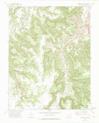
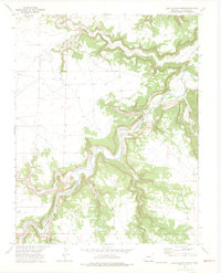
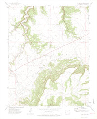
Editions of this 1972 Humbar Spring Map
4 editions found
Other maps of this area

1891 · Mesa De Maya
USGS Topo · 1:125,000
1893 · Mesa de Maya
USGS Topo · 1:125,000

1955 · La Junta
USGS Topo · 1:250,000

1958 · La Junta
USGS Topo · 1:250,000

1968 · La Junta
USGS Topo · 1:250,000
1972 · Johnson Canyon
USGS Topo · 1:24,000
1972 · Doss Canyon North
USGS Topo · 1:24,000
1972 · Miners Peak
USGS Topo · 1:24,000
1972 · Plum Canyon
USGS Topo · 1:24,000
1972 · Tobe
USGS Topo · 1:24,000