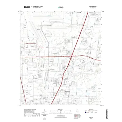
2019 Map of Humble
USGS Topo · Published 2019About this map
George Bush Intercontinental Airport/Houston dominates the northern landscape of Harris County, its runways and terminal roads such as N Terminal Rd and Jetero Blvd defining the local geography. South of the airport, a complex network of residential developments and industrial corridors emerges, centered around the historic community of Humble and the expanding suburbs of Houston. The region's drainage is naturally defined by the winding paths of Greens Bayou and Halls Bayou, which cut through a landscape increasingly marked by modern transit infrastructure like the Hardy Toll Rd and Sam Houston Pkwy.
Find a feature on this map
298 named features on this map. Tap any name to fly to it.
Don’t see what you’re looking for? This feature index may not catch every label — zoom into the map to look around manually.
Map Details
Editions of this 2019 Humble Map
This is the sole edition of this map. No revisions or reprints were ever made.
Other maps of this area

1915 · Houston Heights
USGS Topo · 1:24,000

1916 · Aldine
USGS Topo · 1:24,000

1916 · Settegast
USGS Topo · 1:24,000

1916 · Fauna
USGS Topo · 1:24,000

1916 · Harmaston
USGS Topo · 1:24,000

1916 · Moonshine Hill
USGS Topo · 1:24,000

1916 · Humble
USGS Topo · 1:24,000

1916 · Spring
USGS Topo · 1:24,000

1919 · Aldine
USGS Topo · 1:31,680

1919 · Humble
USGS Topo · 1:31,680