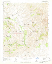
1964 Map of Humboldt Mtn.
USGS Topo · Published 1965About this map
Humboldt Mtn and its surrounding canyons within the Tonto National Forest are defined by a network of springs and early ranching history. Settled outposts like Cartwright Ranch and Sears Kay Ranch are connected by a system of jeep and pack trails that navigate the complex drainage systems of Camp Creek and Rackensack Canyon. The landscape shows significant signs of early prospecting, with the Gold Hill Mines and the Nelson Mine located near Gold Hill.
Find a feature on this map
76 named features on this map. Tap any name to fly to it.
Don’t see what you’re looking for? This feature index may not catch every label — zoom into the map to look around manually.
Map Details
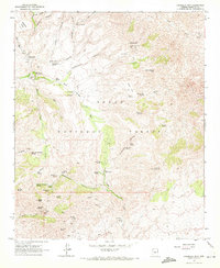
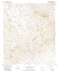
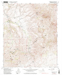
Editions of this 1964 Humboldt Mtn. Map
4 editions found
Other maps of this area

1887 · Verde
USGS Topo · 1:250,000

1892 · Verde
USGS Topo · 1:250,000

1929 · Turret Peak
USGS Topo · 1:125,000

1930 · Cave Creek
USGS Topo · 1:125,000

1933 · Turret Peak
USGS Topo · 1:125,000

1939 · Cave Creek
USGS Topo · 1:125,000

1954 · Holbrook
USGS Topo · 1:250,000

1954 · Mesa
USGS Topo · 1:250,000

1957 · Mesa
USGS Topo · 1:250,000

1957 · Holbrook
USGS Topo · 1:250,000