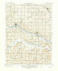
1916 Map of Humboldt
USGS Topo · Published 1949About this map
Humboldt serves as the central hub of this agricultural landscape in Richardson County, where the Chicago Burlington and Quincy railroad follows the valley of the North Fork Nemaha River. The 1915 survey reveals a densely settled rural society organized around a systematic grid of township sections, each supporting numerous local institutions. Notable among these are the sheer volume of country schools, such as the evocatively named Windy Lonesome School and Franklin Center School, which speak to the era's localized educational structure.
Find a feature on this map
80 named features on this map. Tap any name to fly to it.
Don’t see what you’re looking for? This feature index may not catch every label — zoom into the map to look around manually.
Map Details
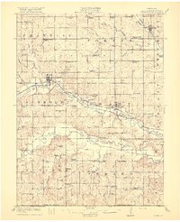
Editions of this 1916 Humboldt Map
3 editions found
Other maps of this area

1888 · Hiawatha
USGS Topo · 1:125,000

1889 · Seneca
USGS Topo · 1:125,000

1894 · Seneca
USGS Topo · 1:125,000

1894 · Hiawatha
USGS Topo · 1:125,000

1915 · Falls City
USGS Topo · 1:62,500

1915 · Nemaha
USGS Topo · 1:62,500

1915 · Howe
USGS Topo · 1:62,500

1916 · Humboldt
USGS Topo · 1:62,500

1939 · Nemaha
USGS Topo · 1:62,500

1949 · Nemaha
USGS Topo · 1:62,500