
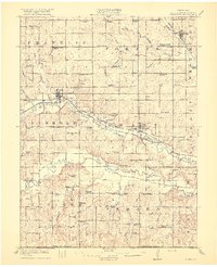
1916 Map of Humboldt
USGS Topo · Published 1916About this map
The North Fork Nemaha River and South Fork Nemaha River valleys define this Richardson County landscape, where early 20th-century agriculture and civil engineering shaped the terrain. Significant water management efforts are evident through the construction of the Chicago Drainage Canal and the Quincy Drainage Canal, designed to straighten and control the winding river forks. The Chicago Burlington and Quincy railroad follows the river valley, connecting the established hub of Humboldt with Dawson.
Find a feature on this map
77 named features on this map. Tap any name to fly to it.
Don’t see what you’re looking for? This feature index may not catch every label — zoom into the map to look around manually.
Map Details
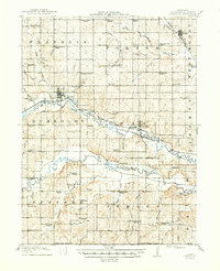
Editions of this 1916 Humboldt Map
3 editions found
Other maps of this area

1888 · Hiawatha
USGS Topo · 1:125,000

1889 · Seneca
USGS Topo · 1:125,000

1894 · Seneca
USGS Topo · 1:125,000

1894 · Hiawatha
USGS Topo · 1:125,000

1915 · Falls City
USGS Topo · 1:62,500

1915 · Nemaha
USGS Topo · 1:62,500

1915 · Howe
USGS Topo · 1:62,500

1939 · Nemaha
USGS Topo · 1:62,500

1949 · Nemaha
USGS Topo · 1:62,500

1950 · Kansas City
USGS Topo · 1:250,000