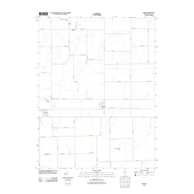
2012 Map of Hume
USGS Topo · Published 2012About this map
The agricultural landscape of Edgar County is defined by the small railroad-aligned communities of Hume and Metcalf. This area is characterized by a dense grid of township roads and several significant drainage features, including Brushy Fork and Shiloh Number 2 Drain, which support the intensive farming of the Illinois prairie. The map provides clear evidence of early transcontinental travel history with the presence of the Ocean to Ocean Rd, a precursor to the modern highway system.
Find a feature on this map
52 named features on this map. Tap any name to fly to it.
Don’t see what you’re looking for? This feature index may not catch every label — zoom into the map to look around manually.
Map Details
Editions of this 2012 Hume Map
This is the sole edition of this map. No revisions or reprints were ever made.
Other maps of this area

1946 · Kansas
USGS Topo · 1:62,500

1947 · Ridge Farm
USGS Topo · 1:62,500

1947 · Paris
USGS Topo · 1:62,500

1949 · Kansas
USGS Topo · 1:62,500

1949 · Paris
USGS Topo · 1:62,500

1953 · Indianapolis
USGS Topo · 1:250,000

1956 · Indianapolis
USGS Topo · 1:250,000

1956 · Newman
USGS Topo · 1:62,500

1957 · Indianapolis
USGS Topo · 1:250,000

1962 · Indianapolis
USGS Topo · 1:250,000