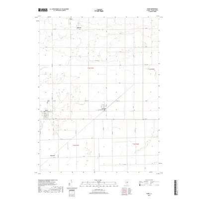
2018 Map of Hume
USGS Topo · Published 2018About this map
Hume and Metcalf anchor this section of the Illinois prairie, representing the enduring grid-pattern agricultural landscape of Edgar County. The village of Hume shows a compact residential layout with streets like Front St and Center St, while the surrounding countryside is defined by a rigorous network of section-line roads such as N 600TH St and E 2300TH Rd. This area is characterized by its drainage systems, where small tributaries like Gilkey Br and Clark Br feed into the larger Brushy Fork.
Find a feature on this map
48 named features on this map. Tap any name to fly to it.
Don’t see what you’re looking for? This feature index may not catch every label — zoom into the map to look around manually.
Map Details
Editions of this 2018 Hume Map
This is the sole edition of this map. No revisions or reprints were ever made.
Other maps of this area

1946 · Kansas
USGS Topo · 1:62,500

1947 · Ridge Farm
USGS Topo · 1:62,500

1947 · Paris
USGS Topo · 1:62,500

1949 · Kansas
USGS Topo · 1:62,500

1949 · Paris
USGS Topo · 1:62,500

1953 · Indianapolis
USGS Topo · 1:250,000

1956 · Indianapolis
USGS Topo · 1:250,000

1956 · Newman
USGS Topo · 1:62,500

1957 · Indianapolis
USGS Topo · 1:250,000

1962 · Indianapolis
USGS Topo · 1:250,000