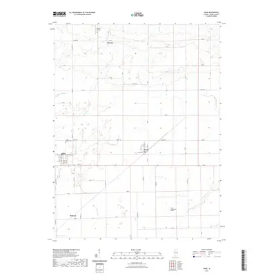
2021 Map of Hume
USGS Topo · Published 2021About this map
The town of Hume sits at the southwestern edge of this landscape, its street grid defined by names like Front St and Center St. This Edgar County region is dominated by an organized system of section roads and drainage features, including the Shiloh Number 2 Drain and the winding course of Brushy Fork. To the north, the small settlement of Hildreth is accompanied by the Hildreth Air Park, while Metcalf serves as a central junction where Cord 6 meets Crawford St.
Find a feature on this map
47 named features on this map. Tap any name to fly to it.
Don’t see what you’re looking for? This feature index may not catch every label — zoom into the map to look around manually.
Map Details
Editions of this 2021 Hume Map
This is the sole edition of this map. No revisions or reprints were ever made.
Other maps of this area

1946 · Kansas
USGS Topo · 1:62,500

1947 · Ridge Farm
USGS Topo · 1:62,500

1947 · Paris
USGS Topo · 1:62,500

1949 · Kansas
USGS Topo · 1:62,500

1949 · Paris
USGS Topo · 1:62,500

1953 · Indianapolis
USGS Topo · 1:250,000

1956 · Indianapolis
USGS Topo · 1:250,000

1956 · Newman
USGS Topo · 1:62,500

1957 · Indianapolis
USGS Topo · 1:250,000

1962 · Indianapolis
USGS Topo · 1:250,000