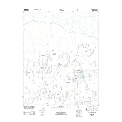
2012 Map of Hume
USGS Topo · Published 2012About this map
Hume Lake serves as the central hub of this mountain landscape, which is defined by its deep logging history and recreational development. The presence of the Chicago Stump and Stump Meadow within the Converse Basin points to the era of massive redwood harvesting, while the Boole Tree remains a standing monument to the forest's ancient giants. Settlement is concentrated around Hume, where the Hume Lake Christian Camp and the Hume Forest Service Facility operate near the shoreline. The terrain is dramatically carved by the Kings River to the north and numerous drainages like Tenmile Cr and Indian Cr. High-altitude landmarks such as Panoramic Point and McGee Vista Point offer glimpses into the complex topography of ridges and meadows, including Huckleberry Meadow and Long Meadow, that characterize this portion of Fresno County.
Find a feature on this map
52 named features on this map. Tap any name to fly to it.
Don’t see what you’re looking for? This feature index may not catch every label — zoom into the map to look around manually.
Map Details
Editions of this 2012 Hume Map
This is the sole edition of this map. No revisions or reprints were ever made.
Other maps of this area
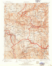
1903 · Tehipite
USGS Topo · 1:125,000
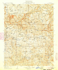
1905 · Tehipite
USGS Topo · 1:125,000
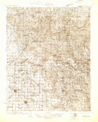
1922 · Trimmer
USGS Topo · 1:96,000
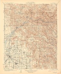
1924 · Dinuba
USGS Topo · 1:125,000
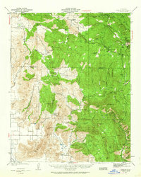
1942 · Dunlap
USGS Topo · 1:62,500
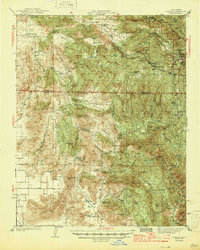
1944 · Dunlap
USGS Topo · 1:62,500

1948 · Fresno
USGS Topo · 1:250,000
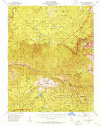
1952 · Tehipite Dome
USGS Topo · 1:62,500
1952 · Patterson Mountain
USGS Topo · 1:62,500
1955 · Fresno
USGS Topo · 1:250,000