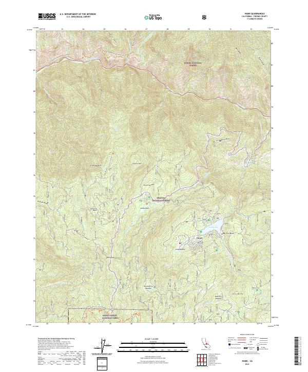
2021 Map of Hume
USGS Topo · Published 2021About this map
Hume sits at the heart of this high-elevation landscape, where the waters of Hume Lake and Tenmile Creek meet. The geography is defined by a series of deep basins and meadows, including Converse Basin and Stump Meadow, reflecting the complex watershed of the Kings River. This 2021 survey traces the modern boundaries of three distinct national forests—the Sierra National Forest, Sequoia National Forest, and Kings Canyon National Park. The inclusion of Sandy Cove Beach and the Kings River National Recreation Trl highlights the area's role as a recreational hub within the larger wilderness, while landmarks like Lava Butte and Converse Mtn anchor the terrain. The network of forest service roads and trails, such as the Grant Grove North Boundary Trl, provides contemporary access through these historic timber and grazing lands.
Find a feature on this map
42 named features on this map. Tap any name to fly to it.
Don’t see what you’re looking for? This feature index may not catch every label — zoom into the map to look around manually.
Map Details
Editions of this 2021 Hume Map
This is the sole edition of this map. No revisions or reprints were ever made.
Other maps of this area

1903 · Tehipite
USGS Topo · 1:125,000

1905 · Tehipite
USGS Topo · 1:125,000

1922 · Trimmer
USGS Topo · 1:96,000

1924 · Dinuba
USGS Topo · 1:125,000

1942 · Dunlap
USGS Topo · 1:62,500

1944 · Dunlap
USGS Topo · 1:62,500

1948 · Fresno
USGS Topo · 1:250,000

1952 · Tehipite Dome
USGS Topo · 1:62,500

1952 · Patterson Mountain
USGS Topo · 1:62,500

1955 · Fresno
USGS Topo · 1:250,000