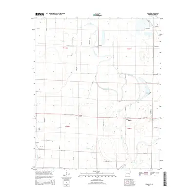
2014 Map of Humnoke
USGS Topo · Published 2014About this map
Humnoke and Allport sit at the center of this agricultural landscape in the Arkansas Delta, where the drainage patterns of Crooked Creek and Salt Bayou define the layout of rural roads and property lines. The territory is characterized by its reliance on water management, evidenced by the presence of Big Ditch and the Oxbow formations of Jordan Brake. Small settlements like Coy, Ryan, and Seaton are scattered across the township grid, connected by a network of local routes such as Ar-232 E and Co Road 983. Local history is anchored at sites like Gumwood Cem and Tomberlin Cem, while Walls Airport provides a small aviation hub for the surrounding fields. The map reflects a deeply established agrarian economy where irrigation and drainage infrastructure are as vital as the roads themselves.
Find a feature on this map
68 named features on this map. Tap any name to fly to it.
Don’t see what you’re looking for? This feature index may not catch every label — zoom into the map to look around manually.
Map Details
Editions of this 2014 Humnoke Map
This is the sole edition of this map. No revisions or reprints were ever made.
Other maps of this area

1935 · Altheimer
USGS Topo · 1:62,500

1937 · Stuttgart
USGS Topo · 1:62,500

1937 · England
USGS Topo · 1:48,000

1939 · Stuttgart
USGS Topo · 1:62,500

1941 · Goldman
USGS Topo · 1:62,500

1943 · England
USGS Topo · 1:62,500

1948 · Helena
USGS Topo · 1:250,000

1950 · Helena
USGS Topo · 1:250,000

1955 · Helena
USGS Topo · 1:250,000

1959 · Helena
USGS Topo · 1:250,000