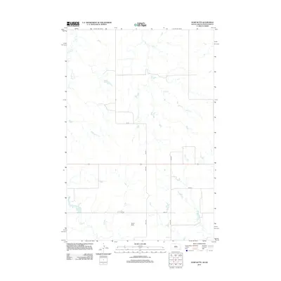
2012 Map of Hump Butte
USGS Topo · Published 2012About this map
Hump Butte stands as a prominent topographical landmark in the Porcupine District along the North Dakota-South Dakota border in 2012. This sparsely settled region of Sioux County is defined by a dendritic drainage network, where the headwaters of Plum Cr and Timber Cr carve through the high plains landscape. The map reveals a strict sectional grid of rural roads, including 234th Ave and 104th St, which serve the isolated farmsteads and ranching operations characteristic of the northern Great Plains. A notable concentration of water features in the southwest corner includes Mallard Lake and the upper reaches of Hump Cr, providing essential resources for local agriculture and wildlife in an otherwise arid environment.
Find a feature on this map
11 named features on this map. Tap any name to fly to it.
Don’t see what you’re looking for? This feature index may not catch every label — zoom into the map to look around manually.
Map Details
Editions of this 2012 Hump Butte Map
This is the sole edition of this map. No revisions or reprints were ever made.
Other maps of this area

1953 · McIntosh
USGS Topo · 1:250,000

1954 · Bismarck
USGS Topo · 1:250,000

1958 · Bismarck
USGS Topo · 1:250,000

1958 · McIntosh
USGS Topo · 1:250,000

1971 · Lookout Butte
USGS Topo · 1:24,000

1971 · Lookout Butte SE
USGS Topo · 1:24,000

1972 · McIntosh SW
USGS Topo · 1:24,000

1972 · Morristown SE
USGS Topo · 1:24,000

1972 · Watauga
USGS Topo · 1:24,000

1972 · Hump Butte
USGS Topo · 1:24,000