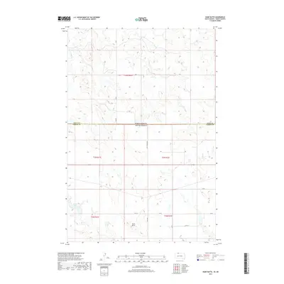
2017 Map of Hump Butte
USGS Topo · Published 2017About this map
Hump Butte stands as the central landmark of this prairie landscape, situated near the transition from North Dakota to South Dakota. The terrain is defined by the headwaters of several drainages, including Plum Cr and Timber Cr, which carve through the high ground along the Sioux Co and Corson Co line. This 2017 survey reflects a contemporary ranching and agricultural region where section-line roads like 49th street and Lake Township Rd provide the primary infrastructure through the township grids. To the southwest, Mallard Lake and the meandering path of Hump Cr mark the lower elevations of the quadrangle. The map is a precise record of the modern rural environment, illustrating how geographic boundaries and water sources continue to shape the distribution of remote prairie access and land use.
Find a feature on this map
16 named features on this map. Tap any name to fly to it.
Don’t see what you’re looking for? This feature index may not catch every label — zoom into the map to look around manually.
Map Details
Editions of this 2017 Hump Butte Map
This is the sole edition of this map. No revisions or reprints were ever made.
Other maps of this area

1953 · McIntosh
USGS Topo · 1:250,000

1954 · Bismarck
USGS Topo · 1:250,000

1958 · Bismarck
USGS Topo · 1:250,000

1958 · McIntosh
USGS Topo · 1:250,000

1971 · Lookout Butte
USGS Topo · 1:24,000

1971 · Lookout Butte SE
USGS Topo · 1:24,000

1972 · McIntosh SW
USGS Topo · 1:24,000

1972 · Morristown SE
USGS Topo · 1:24,000

1972 · Watauga
USGS Topo · 1:24,000

1972 · Hump Butte
USGS Topo · 1:24,000