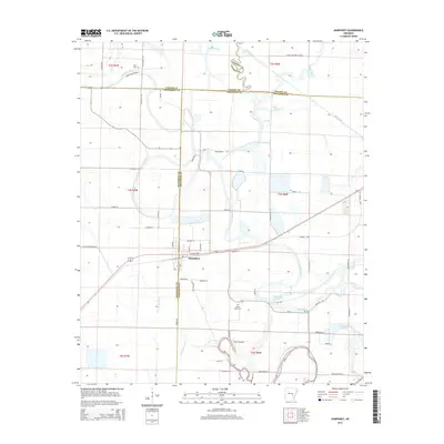
2014 Map of Humphrey
USGS Topo · Published 2014About this map
Humphrey sits at the intersection of five Arkansas counties, serving as a focal point for this landscape of managed wetlands and agricultural drainage. This 2014 survey reveals a complex hydrological network where natural features like Bayou Meto and Crooked Creek coexist with man-made interventions such as Big Ditch, Lateral Number 5, and the Randolph Reservoir. The presence of the Bayou Meto Cem and Flynn Cem provides important points of reference for genealogists tracing families in this multi-county border region.
Find a feature on this map
69 named features on this map. Tap any name to fly to it.
Don’t see what you’re looking for? This feature index may not catch every label — zoom into the map to look around manually.
Map Details
Editions of this 2014 Humphrey Map
This is the sole edition of this map. No revisions or reprints were ever made.
Other maps of this area

1935 · Altheimer
USGS Topo · 1:62,500

1937 · Stuttgart
USGS Topo · 1:62,500

1937 · England
USGS Topo · 1:48,000

1939 · Stuttgart
USGS Topo · 1:62,500

1941 · Goldman
USGS Topo · 1:62,500

1943 · England
USGS Topo · 1:62,500

1948 · Helena
USGS Topo · 1:250,000

1950 · Helena
USGS Topo · 1:250,000

1955 · Helena
USGS Topo · 1:250,000

1959 · Helena
USGS Topo · 1:250,000