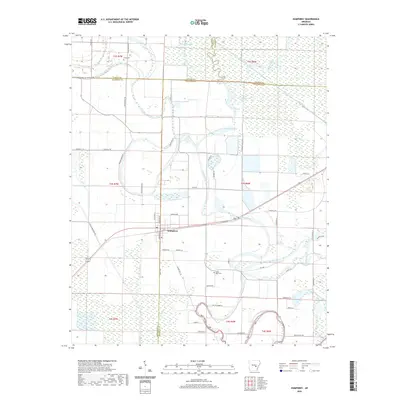
2020 Map of Humphrey
USGS Topo · Published 2020About this map
Humphrey sits at the intersection of several county lines in this 2020 Arkansas survey, serving as a hub for the surrounding agricultural landscape. The terrain is defined by a complex network of wetlands and drainage features, including the meandering path of Crooked Creek and the significant basin of Bayou Meto. Local history is anchored by sites such as Flynn Cem to the north and Bayou Meto Cem to the south, while water management is evidenced by Lateral Number 5 and the straight line of the Big Ditch. Numerous backroads and lanes, like Acklin Bridge Rd and Hammans White Rd, provide access to the rural homesteads and brakes that characterize this low-lying region. The map captures the delicate balance between the natural flow of Flynn Slough and the structured fields of modern rice and soybean production common to this part of the Delta.
Find a feature on this map
61 named features on this map. Tap any name to fly to it.
Don’t see what you’re looking for? This feature index may not catch every label — zoom into the map to look around manually.
Map Details
Editions of this 2020 Humphrey Map
This is the sole edition of this map. No revisions or reprints were ever made.
Other maps of this area

1935 · Altheimer
USGS Topo · 1:62,500

1937 · Stuttgart
USGS Topo · 1:62,500

1937 · England
USGS Topo · 1:48,000

1939 · Stuttgart
USGS Topo · 1:62,500

1941 · Goldman
USGS Topo · 1:62,500

1943 · England
USGS Topo · 1:62,500

1948 · Helena
USGS Topo · 1:250,000

1950 · Helena
USGS Topo · 1:250,000

1955 · Helena
USGS Topo · 1:250,000

1959 · Helena
USGS Topo · 1:250,000