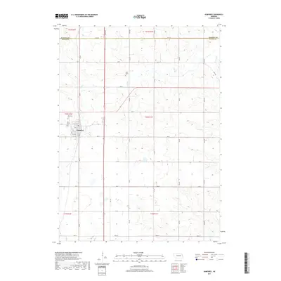
2017 Map of Humphrey
USGS Topo · Published 2017About this map
The town of Humphrey serves as the central hub of this agricultural landscape in northeastern Nebraska. Situated along the boundary where Madison and Platte Counties meet, the area is defined by a grid-like network of rural roads such as Mason Rd and Hoesly Rd. This 2017 survey reveals a deeply rooted community infrastructure, notably preserved through several local burial grounds including Saint Francis Cem and Humphrey Cem near the town center, and the more remote Tracy Valley Cem to the north.
Find a feature on this map
43 named features on this map. Tap any name to fly to it.
Don’t see what you’re looking for? This feature index may not catch every label — zoom into the map to look around manually.
Map Details
Editions of this 2017 Humphrey Map
This is the sole edition of this map. No revisions or reprints were ever made.
Other maps of this area

1955 · Fremont
USGS Topo · 1:250,000

1957 · Fremont
USGS Topo · 1:250,000

1958 · Fremont
USGS Topo · 1:250,000

1963 · Madison
USGS Topo · 1:24,000

1963 · Madison SE
USGS Topo · 1:24,000

1963 · Battle Creek SE
USGS Topo · 1:24,000

1966 · Tarnov
USGS Topo · 1:24,000

1966 · Platte Center
USGS Topo · 1:24,000

1966 · Humphrey SE
USGS Topo · 1:24,000

1966 · Creston
USGS Topo · 1:24,000