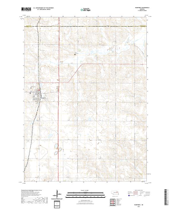
2021 Map of Humphrey
USGS Topo · Published 2021About this map
Humphrey serves as the primary hub in this portion of Platte County, positioned at the junction of State Spur 71 and local thoroughfares like Oak St and Elm St. The settlement's institutional history is anchored by its civic landmarks, including the Po and two distinct burial grounds, Humphrey Cem and Saint Francis Cem, located on the western edge of town. Outside the residential blocks, the landscape is defined by the winding path of Tracy Cr, which drains the rolling agricultural terrain of the surrounding townships.
Find a feature on this map
39 named features on this map. Tap any name to fly to it.
Don’t see what you’re looking for? This feature index may not catch every label — zoom into the map to look around manually.
Map Details
Editions of this 2021 Humphrey Map
This is the sole edition of this map. No revisions or reprints were ever made.
Other maps of this area

1955 · Fremont
USGS Topo · 1:250,000

1957 · Fremont
USGS Topo · 1:250,000

1958 · Fremont
USGS Topo · 1:250,000

1963 · Madison
USGS Topo · 1:24,000

1963 · Madison SE
USGS Topo · 1:24,000

1963 · Battle Creek SE
USGS Topo · 1:24,000

1966 · Tarnov
USGS Topo · 1:24,000

1966 · Platte Center
USGS Topo · 1:24,000

1966 · Humphrey SE
USGS Topo · 1:24,000

1966 · Creston
USGS Topo · 1:24,000